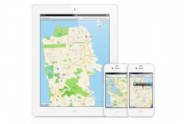
Apple has been improving its Maps service since its botched launch in 2012, and the app could be about to complete its turnaround with an invaluable new feature, Digital Spy reports.
According to reliable rumours blog 9to5Mac, the iOS 9 update will introduce public transit navigation information to Apple Maps.
This will include bus, subway, and train route navigation, meaning users will need one less app to plan their journey on public transport.
Apple reportedly planned to add public transit navigation to Maps with the release of iOS 8, only to pull the feature at the last minute to refine it.
The Cupertino firm is also said to have deployed robots to famous buildings and landmarks to map out their interiors with a view to introducing indoor data to Maps.
Apple could officially announce the new Maps features at its Worldwide Developers Conference next month.

